The Flagler Beach-Palm Coast region is expected to see the highest probability of rain from 3 to 6 p.m., according to the Jacksonville National Weather Service. The possibility of rain is 60 percent at 3 p.m., 45 percent at 6 p.m., and 30 percent at 9 p.m.
The Flagler Beach Independence Day parade started at 9 a.m. in the Santa Maria del Mar church parking lot, and local officials, parade participants, and spectators are keeping a close eye on the weather. The First Friday celebrations in Flagler Beach are planned from 11 a.m. to 2 p.m. A ceremonial reading of the Declaration of Independence by about 15 elected officials, including judges with one notable exception, takes place before the fireworks display at the county airport at 9 p.m.
Early this morning, a surface low-pressure system known as Invest AL92 developed around 100 miles east of Jacksonville, influencing July 4 events. The National Weather Service estimates that the system has a 60 percent chance of becoming a tropical storm. It is anticipated that the system will mainly affect the nearby coast and marine areas.
Over the weekend, a moderate risk of rip currents is anticipated. Many people killed by rip currents are tourists from inland areas rather than natives. Today between North 8th Street and South 7th Street, Flagler Beach’s lifeguard staff will be on duty. (The Flagler County government, which covers half of the crew’s salaries, plans to stop supporting them by the next year.)
In a briefing this morning, NWS said that if Invest AL92 turns into a tropical system, the stronger winds will stay offshore of the local coast, and it will probably be a tropical depression or even a minor tropical storm. Our local area is not anticipated to be threatened by tropical winds or storm surges as a result of this system.
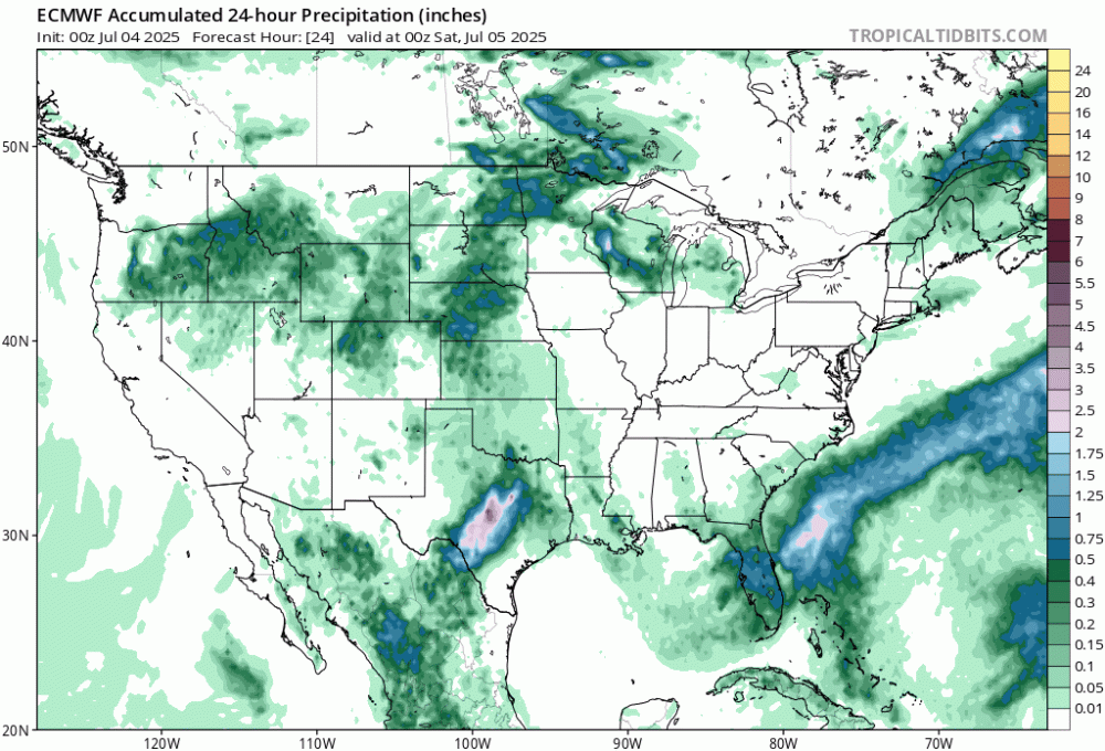
The risk of localized floods due to rainfall persists. In the last week, more than 4 inches had fallen in some places. Localized flooding is likely to happen if these areas with saturated grounds receive an additional 2 to 4 inches of precipitation during the next few days. Northeast Florida south of the Interstate 10 corridor has the highest danger of flooding due to rains today.
Fireworks Forecast: The majority of showers and storms are expected to subside by 9 p.m. today, despite the fact that many areas have a chance of more than 60%. For precise forecast timing, click this link:Tinyurl.com/7jcnxy9c is the URL.
![]()